Port-de-Bouc
Port-de-Bouc | |
|---|---|
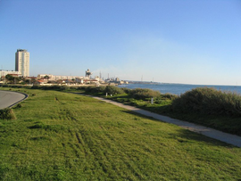 Aigues Douces area
| |
 Coat of arms
| |
|
Location of Port-de-Bouc
| |
 Port-de-Bouc  Port-de-Bouc | |
| Coordinates: 43°24′21″N 4°59′21″E | |
| Country | France |
| Region | Provence-Alpes-Côte d'Azur |
| Department | Bouches-du-Rhône |
| Arrondissement | Istres |
| Canton | Martigues |
| Intercommunality | Aix-Marseille-Provence |
| Government | |
| • Mayor (2020–2026) | Laurent Belsola |
| Area 1
|
11.46 km2 (4.42 sq mi) |
| Population
(Jan. 2021)
|
16,136 |
| • Density | 1,400/km2 (3,600/sq mi) |
| Time zone | UTC+01:00 (CET) |
| • Summer (DST) | UTC+02:00 (CEST) |
| INSEE/Postal code |
13077 /13110 |
| Elevation | 0–68 m (0–223 ft) (avg. 15 m or 49 ft) |
| 1 French Land Register data, which excludes lakes, ponds, glaciers > 1 km2 (0.386 sq mi or 247 acres) and river estuaries. | |
Port-de-Bouc (French pronunciation: [pɔʁ də buk]; Occitan: Lo Pòrt de Boc) is a commune in the Bouches-du-Rhône department, Southern France.
Population
|
|
|||||||||||||||||||||||||||||||||||||||||||||||||||||||||||||||||||||||||||||||||
| Source: EHESS and INSEE (1968-2017) | ||||||||||||||||||||||||||||||||||||||||||||||||||||||||||||||||||||||||||||||||||