Kumbhalgarh Wildlife Sanctuary
| Kumbhalgarh Wildlife Sanctuary | |
|---|---|
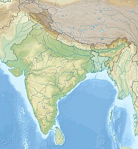
 Map of Rajasthan
 Kumbhalgarh Wildlife Sanctuary (India)
| |
| Location | Rajsamand District, Rajasthan, India |
| Nearest city | Udaipur |
| Coordinates | 24°33′54″N 73°54′22″E |
| Area | 610.528 km2 (235.726 sq mi) |
| Established | 1971 |

Kumbhalgarh Wildlife Sanctuary is located in the Rajsamand District of Rajasthan State in western India. It surrounds the Kumbhalgarh fortress and covers an area of 610.528 km2 (236 sq mi). The sanctuary extends across the Aravalli Range, covering parts of Rajsamand, Udaipur, and Pali districts, ranging from 500 to 1,300 metres (1,600 to 4,300 ft) in elevation. It is part of the Khathiar-Gir dry deciduous forests ecoregion.
Geography
Kumbhalgarh Wildlife Sanctuary takes name after the impressive historic fort of Kumbhalgarh. The wildlife sanctuary consists of a 224.890 km2 (87 sq mi) core area and a 385.638 km2 (149 sq mi) buffer area. It covers four hill and mountain ranges of the Aravalli: Kumbhalgarh range; Sadri range; Desuri range and Bokhada range. Twenty-two villages are located inside the sanctuary. The soils are generally thin, mostly of sandy loam. The base rocks are mainly metamorphic, from the Archean. The topography of the sanctuary can be divided into hills, piedmont and plain. The areas of plain have mostly been co-opted for crops.
Fauna
Kumbhalgarh Wildlife Sanctuary harbours the Indian wolf, Indian leopard, sloth bear, striped hyena, golden jackal, jungle cat, sambhar, nilgai, chausingha, chinkara and Indian hare. The leopard is the apex predator in the sanctuary. The birds at Kumbhalgarh includes the grey junglefowl.