Flugplatz Hildesheim-Drispenstedt
Flugplatz Hildesheim-Drispenstedt Flughafen Kaserne and Airfield | |||||||||||||||
|---|---|---|---|---|---|---|---|---|---|---|---|---|---|---|---|
 | |||||||||||||||
| Summary | |||||||||||||||
| Airport type | Verkehrslandeplatz / public airfield | ||||||||||||||
| Operator | Flugplatz Hildesheim Betriebs GmbH | ||||||||||||||
| Serves | Hildesheim, Germany | ||||||||||||||
| Location | 3 km NNW Hildesheim city centre | ||||||||||||||
| Opened | January 1, 1993 | ||||||||||||||
| Built | 1920 | ||||||||||||||
| In use | 1920- | ||||||||||||||
| Elevation AMSL | 293 ft / 89 m | ||||||||||||||
| Coordinates | 52°10′47″N 009°56′45″E | ||||||||||||||
| Website | www |
||||||||||||||
| Map | |||||||||||||||
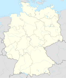 Hildesheim-Drispenstedt | |||||||||||||||
| Runways | |||||||||||||||
| |||||||||||||||

Flugplatz Hildesheim-Drispenstedt is an airfield located near Hildesheim, Lower Saxony, Germany. It was formerly Tofrek Barracks a British Army installation used during both the Second World War and the Cold War.
The airfield is home to the M'era Luna Festival.